Făgăraș
Moldoveanu · 2,544 m
Trail intelligence
Mountiq fuses terrain, live conditions and your own measured pace into a single route brief — where to go, when to start, and the exact hour you have to turn back.
Free during the beta. Carpathians and Alps at launch.
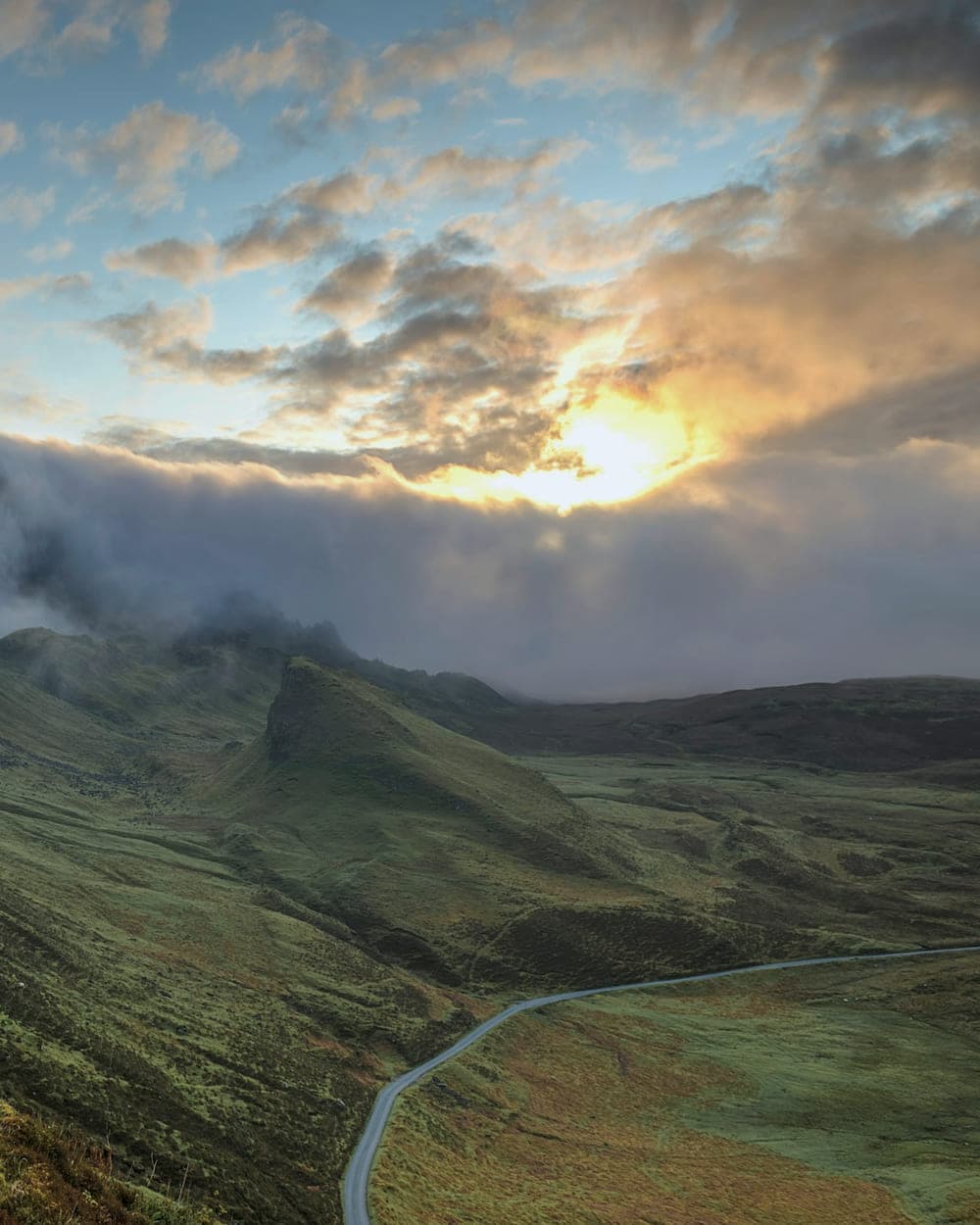
Făgăraș range
Moldoveanu · 2,544 m
What it does
Not another map with pins on it. Mountiq reasons about the terrain the way an experienced partner would — and it does it before you leave the car park.
Describe the day you want — six hours, a ridge, back before dark — and get routes matched to your fitness, the season and today’s conditions.
Wind on the ridge, snowpack in the couloir, the stream crossing that is running high. Conditions are resolved for each part of the route, not for the whole mountain.
The entire massif downloads before you go. Contours, trails, water, shelters and your live position — with the phone in airplane mode.
Gradient, exposure, scrambling grade and the sections where a fall matters, flagged on the elevation profile before you commit to them.
A hard turnaround time, computed from your real pace and last light — then a nudge on your wrist when you reach it.
Share the plan in one tap. Automatic check-ins, a live track for the person at home, and an alert if you stop moving.
How it works
Plain language. “Saturday, seven hours, something exposed but not technical, back by seven.” Or pick a summit and let Mountiq find the way up.
One page: the route, the elevation profile with the hard parts marked, hour-by-hour conditions, the gear that matters and your turnaround time.
Everything is on the phone before you lose signal. Navigation, conditions snapshot, check-ins and the plan you shared — all of it works dark.
Terrain intelligence
Two routes to the same summit can differ by four hours. Mountiq breaks every route into segments and tells you what each one asks of you — the sustained gradient, the exposure, the surface underfoot and the point where turning back stops being cheap.
Turnaround: 14:20
Based on your last eleven ascents, the forecast wind at 1 900 m and sunset at 17:41.
Forest road
4.2 km · 6% average · firm gravel
Beech switchbacks
2.8 km · 14% average · roots, wet after rain
The ridge
1.9 km · exposure both sides · hands out of pockets
Summit block
0.4 km · grade II scramble · 40 min in descent
Coverage
Every range below is mapped to segment level before launch — trails, water, shelters, the technical sections and the descent times that nobody writes down.
Moldoveanu · 2,544 m
Omu · 2,507 m
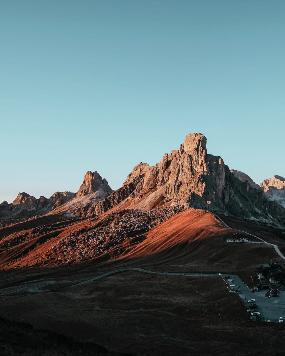
Peleaga · 2,509 m
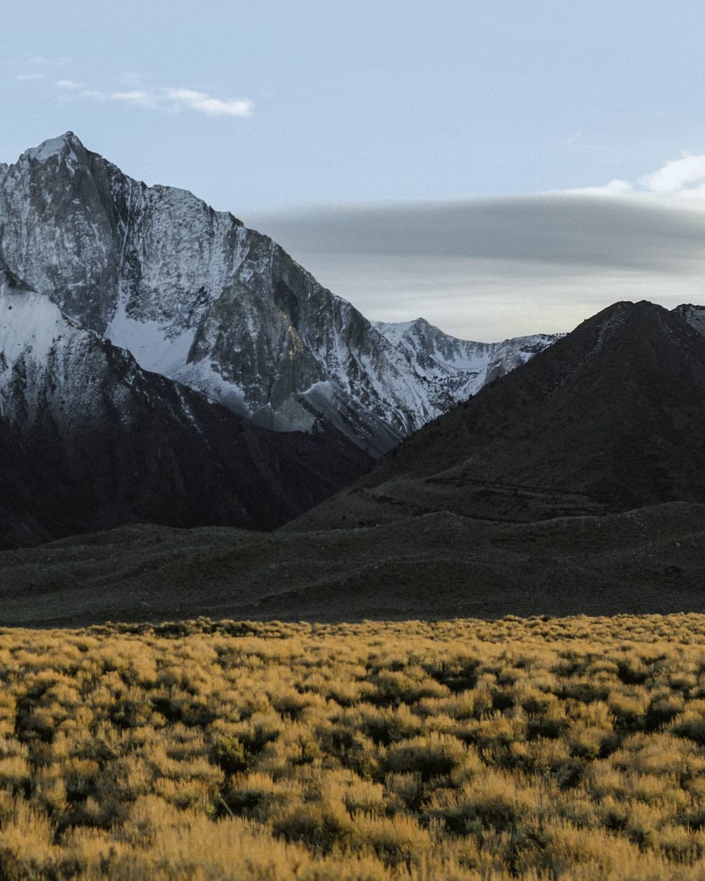
La Om · 2,238 m
Pietrosul · 2,303 m
Curcubăta Mare · 1,849 m
Right after the beta, along with Ciucaș and the Bihor massif.
Safety
Most incidents are not caused by bad climbers. They are caused by good ones running out of daylight, weather or margin. Mountiq is built around margin.
A private link for one person at home. No account needed to open it.
A quiet ping at the summit and at the car. Silence triggers an alert.
Your coordinates, route and the local rescue number on one screen, offline.
The hours the mountain is actually giving you, and the moment they close.
Pricing
Every plan includes offline maps and the full safety layer. We do not put safety behind a paywall.
For the weekend on the local massif.
€0
For people who are out most weekends.
€7/month
For guides, clubs and multi-day objectives.
€19/month
Questions
Yes. Maps, the route brief, the conditions snapshot and navigation are all downloaded before you start. The only thing that needs signal is refreshing conditions and sending a check-in — and Mountiq queues those until you get a bar back.
Open topographic data, national mapping agencies and national weather services, combined with route data reviewed by local mountaineers. Every segment description is checked by a person before it ships.
No, and it never will be. Mountiq is a planning and awareness tool. On technical, glaciated or avalanche terrain, hire a guide. The app will tell you when that is the honest answer.
It learns from you. The first route uses a standard model; after three or four ascents the estimate is calibrated to your actual pace on ascent, descent and traverse, including how much you slow down after five hours.
At launch: the Romanian Carpathians in full — Făgăraș, Bucegi, Piatra Craiului, Retezat, Apuseni, Rodnei, Ciucaș — plus the Eastern and Western Alps. More ranges follow the beta.
It stays yours. Tracks are private by default, live links expire when the trip ends, and nothing is sold or shared with advertisers. You can export or delete everything at any time.
Join the beta and get Mountiq free while we map your range.